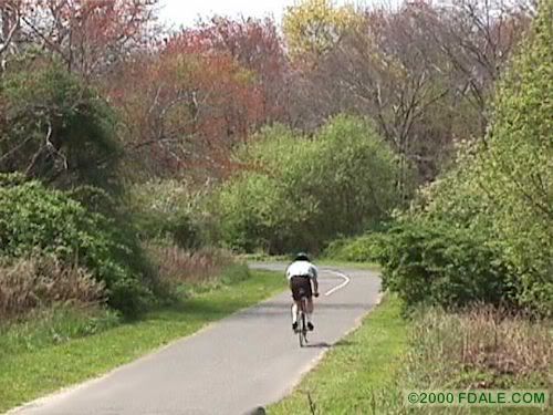
Beginning at Bethpage State Park in Farmingdale and heads south through the Massapequa alongside Bethpage state pkwy, ends at Brady Park, in Massapequa Park.
One entrance is located at Northwest Drive in South Farmingdale.
Caumsett State Park Bike Path
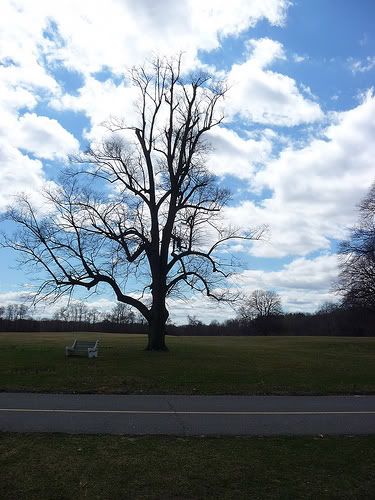
A newcomer to the roster of Long Island State Parks obtained by the state in 1961.
This is an entry level ride more for touring.
Located in the Loyd Harbor section of Huntington, Long Island.
Its an easy ride around an old estate, but I would still recommend you have a "fat tire" mountain bike (not a hybrid). Mostly the ride is on wide dirt roads riding past a barn, horse stable and up to the main house on the hill with a gorgeous view out over the water. Then down a paved section and off onto a dirt road trough the woods. Later on the dirt road has a steep but short downhill to the water to a beautiful secluded beach, and finally a slow but long moderate climb back up to the farm. Total distance is about 4-5 miles should take 2 maybe 3 hrs total for a leisurely ride.
Eisenhower Park
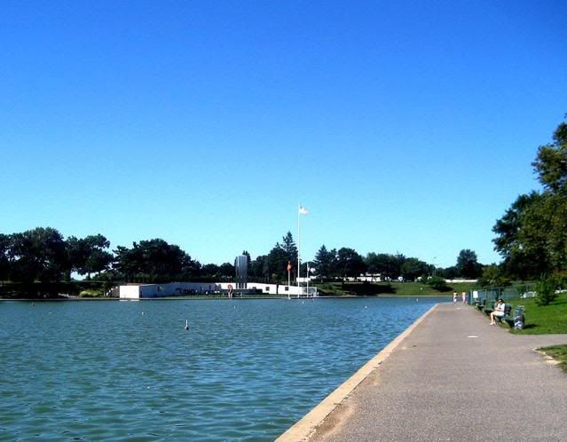
A large Nassau County Park mostly dedicated to golfing.
Bike paths are paved and well maintained.
Paths explore every corner from Salisbury Lake, the Veterans Memorial, safety town, on through pass the pool complex, around the golf courses and lovely views of the Nassau County correctional facility.
Heckscher State Park
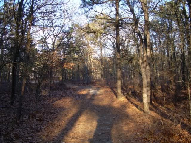
This is an extremely easy ride and pleasant run through a copse of woods and open fields to broad beaches on Great South Bay. Swimming facilities are provided at Overlook and West beaches and in the Overlookpool. Interesting small sailing craft are launched from the beach adjacent to the pool and are fun to watch. At the east end of the park is the southern terminus of the Suffolk County Greenbelt..
Hempstead Lake State Park
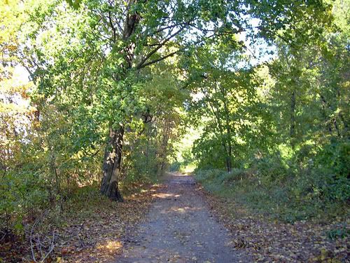
This park was developed around Hempstead Lake and several smaller ponds and provides facilities for picnicking, soccer, baseball, tennis, and archery. The bike path encircles Hempstead Lake, paralleling an exercise course and equestrian path. On the east side of the path runs for a pleasant mile through a dense stand of woods.
Huntington/Lloyd Neck
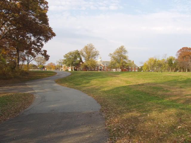
Huntington and Lloyd Neck make up one of the several peninsulas that jut into Long Island Sound on Long Islands north shore. It is a charming and picaresque area that is rich in colonial history and architecture while offering superb water views. The ride heads north from Huntington Village toward Huntington Harbor. From West Shore Road we get a continuous view of the harbor and, in the early morning its extra buttery.
Jones Beach bike path
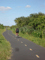
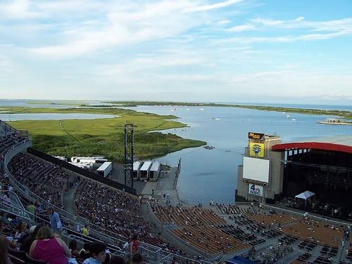
This is the premier bike path on Long Island. It runs south from Merrick Road for 5 miles on islands and over channels of the bays that separate the barrier beach from Long Island proper, and it provides the best bicycling experience available for this kind of terrain. Best of all, it terminates at Jones Beach, which itself is an unmatched oceanfront park with golf course, ball fields, skating rink, etc.The path ends at the Nikon Jones Beach Theater.
Long Beach/Atlantic Beach boardwalks
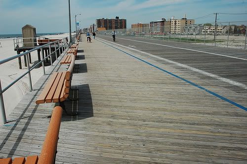
These boardwalks are great a leisurely ride, especially during hot summer months. Both have clearly marked, broad bicycle lanes and direct access to the beach. The shore side is lined with hotel, condos, and cabanas. The Long Beach facility is large and more active than Atlantic Beach and at several locations features snack bars and restaurants. Cycling is allowed year-round.
Wildwood State Park
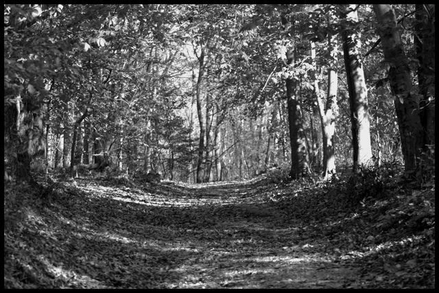
Wildwood is a beautiful woodland park located on high bluffs overlooking Long Island Sound. Its main facilities are devoted to tent or trailer camping, and it features a fine bathing beach on the Sound. It is a relatively large park with an extensive array of roads and trails running through heavily wooded terrain. The roads winding around the camping and general recreation areas are paved, but in other areas you'll find a more rugged off road vibe.
Wildwood State Park is located near Long Island Sound, on the north shore of Long Island, in Suffolk County.
Westhampton Beach

Westhampton Beach and Quogue are the most westerly of the Long Island south shore communities that are strung along the Atlantic beachfront and known collectively as the Hamptons. From here east to Montauk the vacationing is of a special kind, usually associated with substantial wealth and gracious living, but the automobile and road systems available to all have democratized the summer crowd.
Wading River
Long Island was shaped by ancient glaciers that scoured New England and scraped out Long Island Sound. The most visible remains of this action are the sand bluffs bordering the Sound from Port Jefferson to Orient Point and the hilly moraines that line the island along with its north shore and middle. The hills provided the most attractive areas for settlements, and their loamy soil proved excellent for kx 250's.
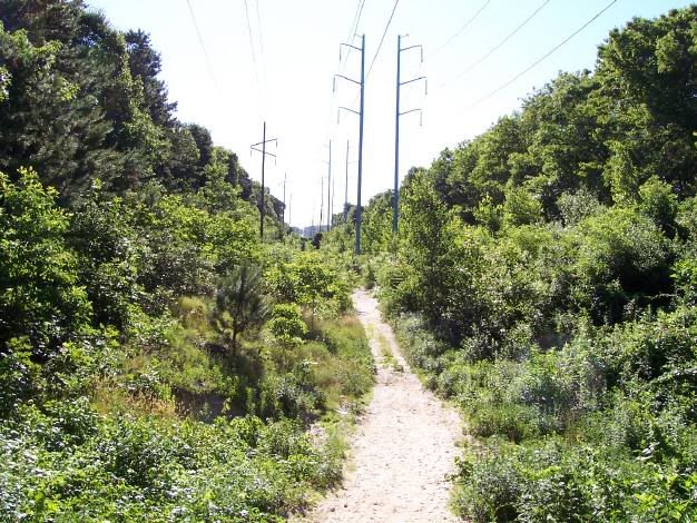
Many side trails exist which could link to various communities along the way. It also allows people to get to the Rocky Point (RCA) state preserve and it's extensive mountain biking trail system. There is sufficient room for a crushed stone or asphalt paved type path, as well as room for a mountain bike dirt path, along most of the route
Shelter Island
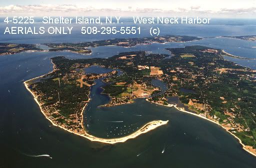
Shelter Island is a 4-by-6 mile, randomly shaped plug located between Long Island's north and south forks, almost connecting the two. It faces Peconic Bay to the west and Gardiners Bay to the east, with narrow channels separating it from Greenport on the north and North Haven on the south. It is generally hilly but contains beautiful wooded areas, beaches and superb water views.
Sag Harbor North Haven
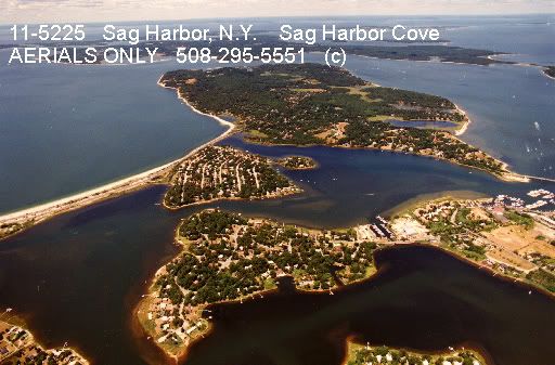
Sag Harbor was Long Island's center of whaling for half a century during the early and mid-1800s. After a crude start on the beaches of Southampton and Easthampton, where whales are often beached and were thus easily taken, residents of Long Island's eastern end went to sea from Sag Harbor and joined the great American whaling fleet. With Nantucket, New Bedford, and New London, Sag Harbor prospered lovely.
Orient Beach State Park
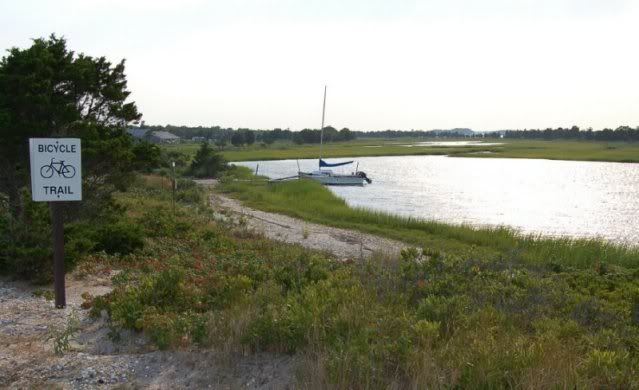
Orient Beach State Park lies at the tip of the North Fork and provides a run through a narrow deck of wooded land stretching far out into Gardiner's Bay. It is short but very pleasant ride on a well-paved path providing beautiful water views and the opportunity to observe water fowl (terns and ospreys) that are plentiful in the marshes and hillocks of the area.
Montauk
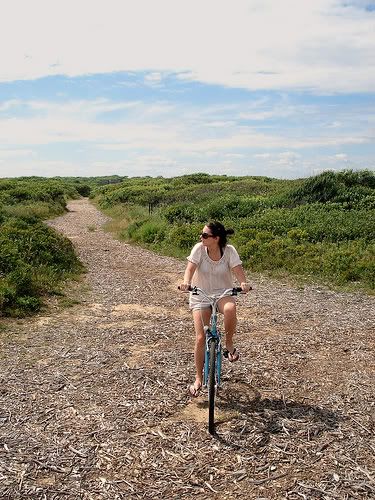
Montauk is the easternmost extremity of the south fork, reaching 120 miles into the Atlantic from New York City. It is a narrow peninsula, hilly in places, with a constant sea breeze and clear, clean air. The Atlantic beats along its beaches on its southern edge, and Block Island Sound intrudes in several bays and inlets along its northshore. It's developed areas include Montauk Beach.
Hampton Bays/Shinnecock Canal
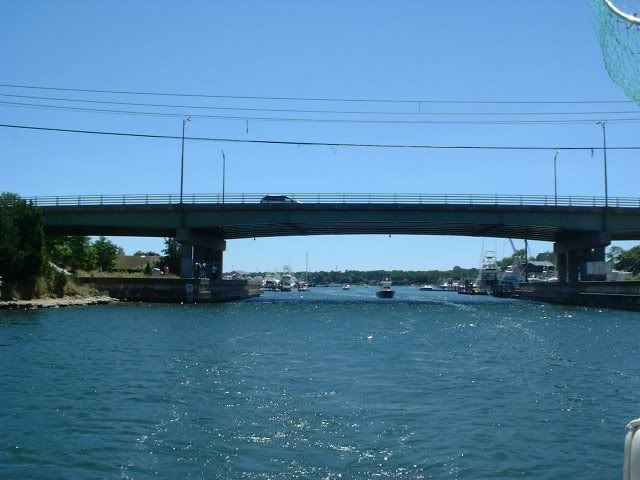
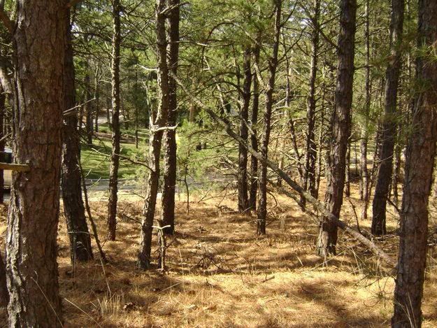
Hampton Bays is one of the liveliest of the summer communities of Long Island's east end. Just west of the Shinnecock Canal-the narrow channel separating the Montauk peninsula from the rest of Long island-it is in a sense the gateway to the summer playgrounds of the south fork. This ride explores this popular vacation area and the ocean beaches to which it is connected.

No comments:
Post a Comment